DJI Ends Geofencing: AI’s Role in Drone Safety Debated

Image Credit: Spencer Davis | Splash
DJI, the world’s leading civilian drone manufacturer, has announced a significant update to its geofencing system, ending over a decade of strict flight restrictions for its drones in the United States. Starting January 13, 2025, the company will replace automatic “No-Fly Zone” prohibitions with optional warnings, a move that shifts responsibility from technology to human operators. This change, affecting apps like DJI Fly and DJI Pilot, comes amid evolving drone regulations and heightened U.S. scrutiny of the Chinese-based firm, raising questions about safety and enforcement in an increasingly tech-driven industry.
[Read More: DJI’s First Foldable Drone with Full Propeller Guard Under 249g]
End of a Safety Era
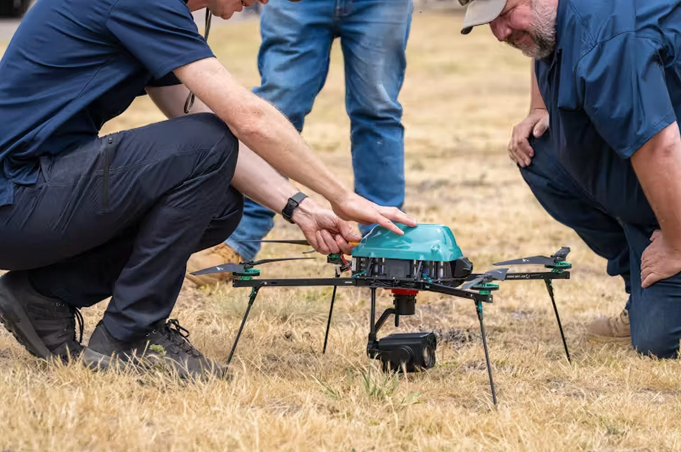
Since 2013, DJI’s Geofencing (GEO) system has prevented its drones from flying into restricted areas, such as military installations, airports and emergency zones like wildfires. Using GPS data and proprietary datasets, the system automatically blocked takeoffs or flights in these zones, a voluntary feature designed to enhance safety when consumer drones were new to the skies. DJI also pioneered other safety measures, including altitude limits, autonomous return-to-home functions, and sensors for obstacle and aircraft detection, many of which rely on advanced automation.
[Read More: DJI RS 4 Mini Unveiled: AI Tracking & Top Features in New Gimbal]
Regulatory Alignment and Remote ID
DJI frames this shift as a response to modern regulatory frameworks. “This GEO update aligns with the principle advanced by aviation regulators around the globe — including the FAA (Federal Aviation Administration) — that the operator is responsible for complying with rules”, the company stated. A key factor is the FAA’s Remote ID requirement, effective in early 2024, which mandates that drones broadcast their location and operator identity during flight. DJI’s global policy head, Adam Welsh, told The Verge that this “provides authorities with the tools needed to enforce existing rules”, reducing the need for manufacturer-imposed limits.
However, a recent incident in Los Angeles highlights potential enforcement gaps. A DJI drone, identified as a sub-250-gram model exempt from Remote ID rules, collided with a Super Scooper airplane fighting wildfires, causing damage. The FBI told The Verge it must ‘work backwards through investigative means’ to identify the operator, underscoring that Remote ID’s current exemptions limit its enforcement reach.
[Read More: DJI Neo Takes Flight: The Future of Personal Drones with AI Precision]
Safety Concerns from Industry Voices
The decision has drawn criticism from experts like Brendan Schulman, DJI’s former head of global policy. In posts on X, Schulman called it “a remarkable shift in drone safety strategy with a potentially enormous impact”, particularly for pilots unaware of airspace rules. He cited “substantial evidence” that the original geofencing system improved aviation safety, referencing a 2015 incident where a DJI drone crashed on the White House lawn—an event the system was later designed to prevent. Schulman noted the update’s timing, nearly a decade after that crash, replaces automatic safeguards with warnings operators can ignore.
DJI counters that its approach reflects global trends. A similar update in the European Union in 2024 showed “no evidence of increased risk,” Welsh told The Verge, though the EU retained mandatory no-fly zones around UK airports—a measure absent in the U.S. version. The company also emphasized that its apps will continue displaying FAA-based warnings, provided users keep them updated, though it did not specify conducting new risk studies for the U.S. change.
[Read More: DJI Matrice 4 Series Drones Revolutionize Mapping, Inspection and Public Safety with AI]
Technology in Transition
DJI’s original geofencing system represents an early form of narrow artificial intelligence, relying on pre-determined rules to enforce safety. By processing GPS data against fixed datasets, it automatically restricted flights—an approach rooted in rule-based automation once considered AI for its decision-making capacity. In contrast, modern AI typically involves machine learning, where systems adapt and improve from data, such as recognizing patterns or predicting risks without hardcoded limits.
[Read More: SkyVisor Secures €1.2M to Advance AI-Driven Drone Inspections in Renewable Energy]
Global Scope of the Update
While the update takes effect in the U.S. on January 13, 2025, it is not exclusive to this region. DJI has already implemented similar changes in the European Union (EU) and the UK since January 2024, starting with countries like Belgium, Germany, and France, where national aviation authorities provided compliant geographical maps. By June 2024, it expanded to Estonia, Finland, and Luxembourg, with remaining EU countries under the European Aviation Safety Authority (EASA) jurisdiction slated for updates in January 2025.
[Read More: How AI is Revolutionizing Sub-100-Gram Drones Under Japan's Strict Drone Laws]
Geopolitical Tensions and Timing
The update arrives as DJI faces mounting pressure in the U.S. Labelled a “Chinese Military Company” by the government, the firm contends with import restrictions and a pending de facto ban. Some see the rollback as a reaction to this hostility, though DJI insists it “isn’t political” and was planned months ago. The FAA, meanwhile, clarified its stance: “The FAA does not require geofencing from drone manufacturers”, spokesperson Ian Gregor told The Verge, affirming that compliance rests with operators, not companies.
[Read More: Global Surge in Small Drones Empowers Militants Amid Weak Regulations]
Modern AI’s Potential Role
Modern AI, with its capacity for machine learning and real-time data analysis, could enhance drone safety beyond static geofencing or Remote ID. By integrating onboard AI, drones could dynamically assess airspace conditions—such as detecting nearby aircraft, weather changes or temporary hazards like wildfires—and adjust flight paths autonomously, even for sub-250-gram models. Machine learning models, trained on vast datasets of flight incidents and airspace rules, could predict and prevent collisions by adapting to new restricted zones without relying solely on pre-set maps or operator input. This adaptability would provide a proactive safety layer, complementing regulatory tools like Remote ID while reducing dependence on human compliance.
[Read More: Top 10 Global AI-Drone Regulatory Updates of 2024 You Must Know]
Source: The Verge, DJI Viewpoint, DJI Media Centre